SUMMARY: We did it!
UPDATED Feb 1 10a.m. PST: Added two maps at end, link to interactive map, and notes about where the photos relative to the map.
Eight of us--six of us with dogs (for a total of 11 dogs)--met at 9 a.m. on Sunday to hike the Santa Teresa County Park portion of the Bay Area Ridge Trail and the optional Calero Creek/Los Alamitos Creek portion afterwards. The day started on the cool side but warmed up to at least the mid-60s if not near 70. In January! Funny Californians--here and elsewhere, almost with the same breath, we keep saying, "wow, we're so lucky with this weather!" and "wow, we're really in trouble if it doesn't start raining soon; hope it rains."
I was definitely the anchor (as in dragging behind) on this trip, even during the earlier part when I was feeling at my best and on the downhill when I thought I was moving along pretty well. Yup, mostly I saw everyone's backs. We started by going up and over three consecutive ridges.
(Photo A on MapMyRun map (copy of map at bottom of page).)

About an hour into the hike, in the park's central picnic area, we stopped at the human facility and also let the dogs have a rest and a drink.
(Photo B on MapMyRun map.)

Because (a) I was always behind, (2) I've taken so many photos at santa teresa, I hardly snapped any photos this trip. And I was still always behind. Still, looking east as we headed up the final ascent to Coyote Peak, the view of the observatories on Mount Hamilton was pretty clear for such a warm day.
(Photo C on MapMyRun map.)

Atop Coyote Peak--cumulative elevation gain of 1400 feet--we stopped for a variety of photos, including my usual pose with the Merle Girls at the usual place, but I got an unusual ear-kiss from the Booster in the process.
(Photo D on MapMyRun map.)

So here's our official shot, which has joined the others on our Coyote Peak Portraits page (link above).

Here we all are: 4 Border Collies, 3 Aussies, 2 Whippets, a Papillon, and a Craussie.
(Photo E on MapMyRun map.)

Here's one of the few Bay Area Ridge Trail markers, as we head out to the Rocky Ridge Trail to make our way back down.
(Photo F on MapMyRun map.)

Good thing the dogs were all on leash (a park requirement) or I'm sure they'd have all been breaking the speed limit (I let go of the Boost's and Tika's leashes while I stopped for the photo--they were ready to keep going).
(Photo G on MapMyRun map.)

Just another view of the group spread out along the single-track trail on our way down.
(Photo H on MapMyRun map.)

Half of the group split (as in, left, vamoosed, wimped out, headed for home) after the first nearly 7 miles; only four of us continued onto the second half of the planned trip. It was a long day--took us about 5 hours. It took longer than it might have otherwise because I slowed more and more as the day wore on. And, although the last 4.5 miles were completely flat, I and one other were both hurtin' more and more as we went. Over 11 miles in one day was a "stretch goal" for us. First the muscle or tendon on the outside of my right knee started hurting, and I had to slow to a stroll for it to not hurt. Then in the last half mile or so, the outer side of my left ankle started giving sharp pains. I loosened my boot and slowed even more to a very careful casual pace (trying not to limp) for it to not bother me, but I and the other gal were neither of us at our peak happiness.
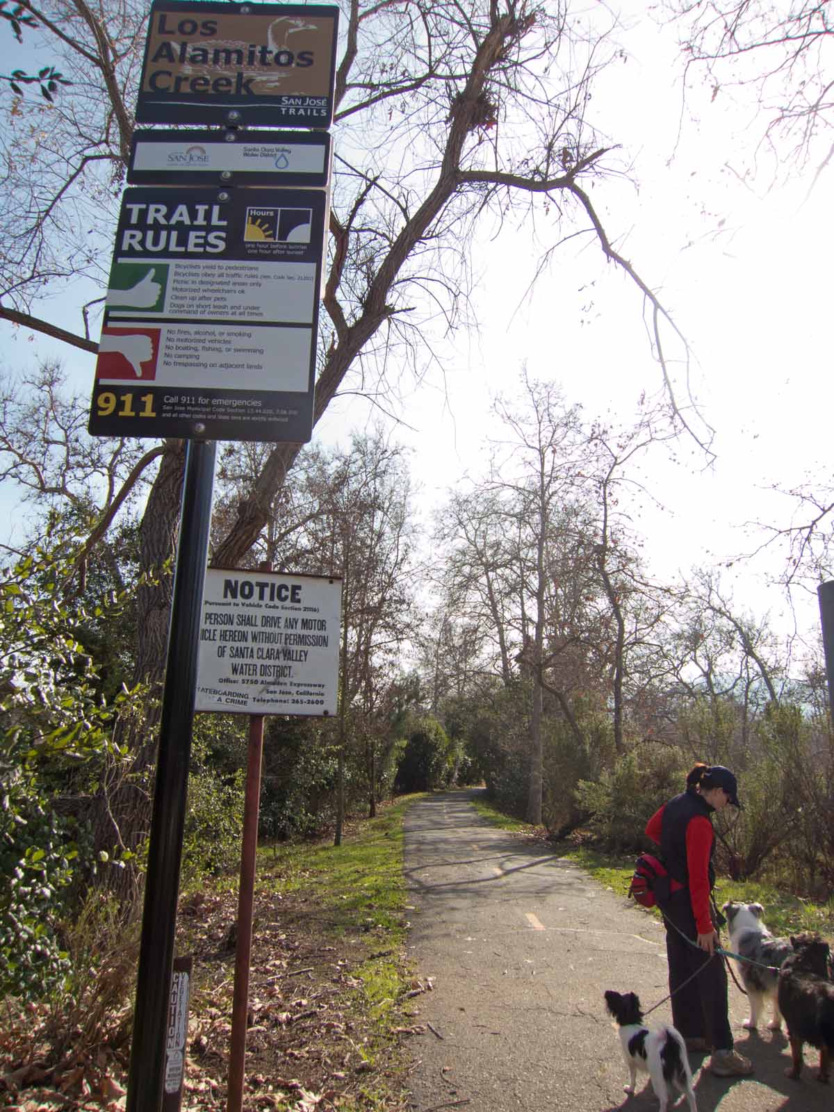
None of us had ever seen a sign with its Dos and Don'ts with thumbs up and down before. Kinda cool.
Even my dogs were slow by then, and again I worried a bit about Tika. But hard to tell--often if she's off leash, she perks up more than if she's trying to match my very slow pace.
I was pretty sure I'd hurt myself and would be ruing the day. But, lo!, Monday came--no soreness, no stiffness. And the dogs were running and playing with no signs at all that they were worse for wear. Tuesday came--still fine! This evening, we walked briskly the 2/3 of a mile to the school where I tossed the frisbee while walking the 1/4 mile around the field, then home again. By then, yeah, I was feeling that my leg muscles had been used and were not at their best, but I still walked home fairly briskly with no pain at all. Very, very good news indeed for my wonky knee and hip.
So I guess those nearly 12 miles in one day were just about the right length to give me a good workout, just past my reasonable limit, which I'm sure has upped my capacity for hiking distance (if I keep it up). It's still the uphill that I don't do enough of.
Tika was the oldest dog on the hike by about a year, and even she at 11 and Surely at 10 did fine for the whole 12 miles. And so did that tiny Papillon! Never flagged at all. Did better than I did.
Here's our route (the part between IBM gatehouse and "Start" is what I hiked and posted photos of Friday morning). We covered about 6.4 miles of Bay Area Ridge Trail. Only another 350 to go.

Here's a (Photo E on MapMyRun map.) ">link to the Santa Teresa MapMyRun section: Interactive, so you can select what type of display and also click the multi-arrow expansion icon in the corner to see a larger version.
Here are screen shots from that map: The terrain with elevations, and a satellite view version, with a chart at the bottom showing the angle of ascent and descent along the 6.9 miles we hiked.


Great job finishing 12 miles. That's a long day. Looks like a wonderful hike.
ReplyDeleteTrying to remember whether 12 miles is the most I've ever hiked in a single day. I think so.
ReplyDeleteNice! Great job.
ReplyDeleteLooks like a lot of fun.
ReplyDelete